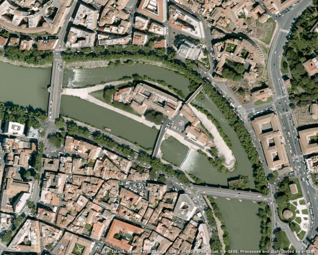
Leonardo, through its subsidiary e-GEOS—owned by the Italian Space Agency (20%) and Telespazio (80%)—will support the Department for Sustainable Development (DiSS) of the Italian Ministry of the Environment and Energy Security (MASE) in creating a Digital Twin of the Italian territory.
The initiative forms part of PNRR investment M2C4 I.1.1, aimed at developing an advanced monitoring and forecasting system. The high-resolution digital model, built using airborne laser surveys (LiDAR) and aerogravimetric data, will provide a strategic asset for understanding the country’s morphology and lay the groundwork for future simulations of terrain behaviour.
The project will significantly enhance national-level knowledge of Italy’s landforms and gravity field, leveraging Leonardo’s recognised expertise in geoinformation, space, and digital technologies. By modelling the entire national territory, the system will provide unprecedented accuracy in analysing both surface and subsurface characteristics—an essential capability for safety, sustainability, and resilience.
Databases produced will be interoperable with existing and ongoing projects, supporting open access and reuse by public and private stakeholders. These resources will be key for territorial planning, environmental protection, slope stability analysis, hydraulic modelling, and flood risk assessment. The national gravimetric database and updated geoid model will also improve positioning systems and subsurface exploration, including raw material identification.
“This strategic project, driven by innovation, vision and collaboration across public, private, and academic sectors, lays the groundwork for a deeper and smarter understanding and management of the territory,” said Massimo Claudio Comparini, Managing Director of Leonardo’s Space Division.
e-GEOS CEO Milena Lerario added: “The digital twin will offer a precise, dynamic representation of the Italian territory, useful for studying risks and optimising intervention. This is our way of contributing to a more sustainable and aware Italy.”
The aerial survey work will be carried out using Laser Scanning LiDAR for high-resolution mapping, alongside aerogravimetric data to update Italy’s geoid model and express terrain elevations in orthometric heights.
The e-GEOS-led consortium includes CGR S.p.A., IRS s.r.l., and academic and research partners such as the University of Pavia, Politecnico di Milano, Sapienza University of Rome, Technical University of Denmark (DTU), GReD s.r.l., and Mermec Engineering S.r.l. The contract is part of Italy’s National Recovery and Resilience Plan under the Integrated Monitoring System (SIM) Programme.
SOURCE AND IMAGE: LEONARDO