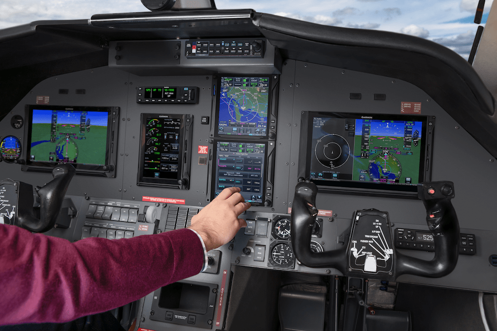

fter years of hands-on experience working on Honeywell-equipped aircraft, Yingling Aviation is proud to announce that it is now officially a Honeywell Authorized Dealer. This milestone marks a key step in Yingling’s continued expansion and reflects the company’s commitment to building strong, strategic partnerships within the aviation industry As part of this new agreement, Yingling […]