
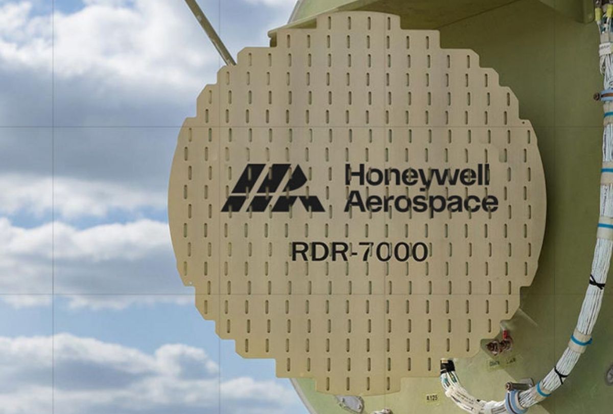
Honeywell’s IntuVue RDR-7000 scans automatically from ground level to 60,000 feet and identifies turbulence, hail, lightning and windshear without the manual tilt and gain adjustment legacy radars required. The company’s case for it rests less on detection range than on what it removes from the pilot’s workload.
WHAT OLDER RADARS ASKED OF THE CREW
Conventional airborne weather radar has helped pilots avoid hazardous weather for decades, but it has always asked something of them in return. A legacy system requires manual adjustment of tilt and gain, and it returns a display on which precipitation, ground clutter and genuine hazard are not always easy to distinguish. The pilot has to work out which returns matter, which lie on the flight path and which do not, and to do so while managing everything else in the cockpit.
Honeywell Aerospace’s argument for the IntuVue RDR-7000 rests on removing that interpretive burden rather than simply extending detection. Jason Bialek, a technical sales director at the company, said the system helps pilots distinguish relevant on-path threats from off-path weather or ground returns, reducing the cognitive workload experienced with older generation radars, which required more time spent evaluating confusing or inconsistent presentations to decide what was actually a hazard.
The distinction matters because of when the burden falls. A pilot manages radar tilt and gain most intensively in precisely the conditions that already demand the most attention, which is to say when there is significant weather ahead. A system that requires manual interpretation is therefore competing for cognitive capacity at exactly the moment that capacity is scarcest. Automating it does not merely save time; it removes a task from a period when tasks are the problem.
WHAT THE SYSTEM DOES
The RDR-7000 scans continuously from the ground to 60,000 feet, building a three-dimensional picture of the atmosphere ahead automatically and eliminating the need for manual tilt and gain adjustment. It identifies turbulence, hail, lightning and windshear, giving crews earlier awareness of conditions affecting both safety and passenger comfort, and presents the result in a format intended to be read quickly rather than decoded.
Bialek described the system as providing a new generation of severe weather awareness, saying it automatically detects precipitation and predicts where turbulence, lightning, hail and windshear are present, displaying the information intuitively to give pilots a clearer picture of what lies ahead. More importantly, he said, it gives pilots more time to evaluate options and make safe, confident decisions. He noted that Honeywell’s engineers had recognised it is not enough for pilots simply to see the weather: they need to understand quickly which hazards matter, where they are, and how to avoid them.
THE OPERATIONAL CASE
Honeywell frames the commercial argument in terms operators recognise. Citing the Federal Aviation Administration, the company notes that adverse weather is a leading contributor to fatal aircraft accidents and is responsible for nearly three-quarters of significant flight delays in the United States National Airspace System. Add the potential for airframe damage from hail and severe turbulence, the additional fuel burn from rerouting, and the way delays propagate through air traffic management, and earlier detection carries value well beyond the flight it occurs on.
For owners and operators, the company argues, better weather awareness translates into fewer weather-related delays, diversions and turn-backs, fewer maintenance events, less schedule disruption and a smoother ride. For a business aviation operator in particular, where the passenger is frequently the person paying for the aircraft, the comfort argument is not a secondary consideration.
TURNING A FLEET INTO A SENSOR NETWORK
The more interesting development is what comes next. Honeywell’s Hazard 3.0 programme is intended to move weather radar from a standalone aircraft sensor toward what the company calls connected weather intelligence, using connected radar techniques to share weather data collected by aircraft securely with ground operations. Aggregating radar observations from across a fleet would allow an operator to build a near real-time picture of conditions, improving flight planning and fleet-wide awareness.
The underlying idea is a considerable one. Every aircraft carrying a weather radar is already generating an atmospheric observation, and at present almost all of that data is discarded the moment the aircraft lands. A fleet whose radars report into a common picture becomes a distributed sensor network covering exactly the airspace the operator uses, updated continuously by the aircraft flying through it. Bialek put the objective in terms of time rather than coverage, saying the future of weather radar is not just seeing storms as they exist at a given moment but understanding how they are changing, and that the goal is to give pilots and operators the information to make better decisions earlier.
Source and Images: Honeywell Aerospace